Tech solution that makes drone operations more wildlife friendly
Drone pilots must comply with a number of rules and guidelines to avoid disturbing people and animals. Yet they still lack good tools for planning more sensitive flights in natural settings.
In brief
- New technology can help drone pilots fly more conscientiously. Researchers at NTNU are developing a framework to provide drone pilots with real-time information about wildlife, breeding seasons and how different species respond to different types of drone flying.
- Today's rules are too general. Although drone pilots should avoid disturbing animals, few specific tools are available to assist with this. Different species react very differently depending on factors such as flight altitude, flight pattern, noise and drone size.
- The researchers are gathering knowledge within one system. The framework connects existing research on drones, animal behaviour and ecological consequences, so knowledge can be used in simulations and for planning flight routes.
- The goal is to create a dynamic map for environmentally friendly drone flying. A tool which shows where the greatest risk of disturbing wildlife is, providing advice adapted to the season, geographical area and the specific drone type. It is initially being aimed at forestry and agriculture, but may later also be available to private individuals.
This summer Norwegian news has reported multiple stories about Lofoten residents who shot at drones out of sheer frustration (in Norwegian).
But not everyone who is exposed to approaching drones has a gun with which to defend themselves.
“There have been reports of numerous examples of birds of prey that attack drones when they feel threatened. When we are out and capturing data, we often observe that the drones quickly attract a lot of attention from the birdlife in the surrounding area,” says Ken Hellerud, head engineer and PhD student at NTNU in Gjøvik.
It’s also well documented that drones can drive nesting birds away from their nests. Consequently, there is little doubt that flying drones can be a potential source of wildlife disturbance, the researcher believes.
However, the Norwegian Institute for Nature Research (NINA) reports that drone use allows scientists to survey seabirds with far less disturbance (in Norwegian) than before.
This is possible because NINA’s drone pilots have in-depth knowledge of the wildlife in the areas where they fly and a solid understanding of the species’ behaviour.
“We will be able to create tools with our framework that give drone pilots a lot of this knowledge in real time,” says Hellerud.
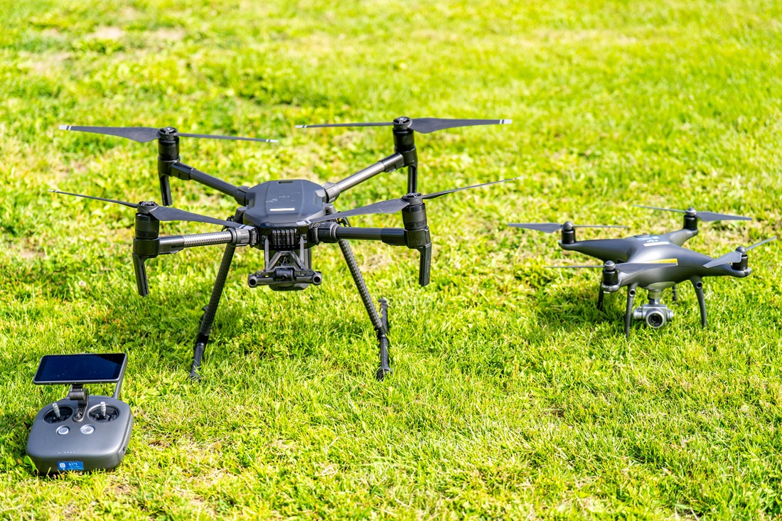
Drones come in a wide variety of models. Photo: Mads Wang-Svendsen NTNU
Guidelines are too general
Today, drones are routinely used in everything from agriculture and forest management to infrastructure inspections. In addition, about 457 000 Norwegians own (in Norwegian) one or more drones.
“These drone uses have given us good guidelines for avoiding human and material damage. But how best to safeguard ‘ecological safety’ is still unclear,” Hellerud says.
It is true that flying drones is prohibited in many protected areas. Outside protected areas, the guidelines state that you should “ensure that drone flying does not cause disturbances to birds or wildlife in the area you are flying”.
But how this is ensured in practice is far from clear.
- You might also like: Preventing wildlife collisions in new ways
Large differences between species
“A lot of vulnerable ecosystems are currently protected from drones through static and somewhat arbitrary safety zones. But the extent to which you disturb the environment as a drone pilot actually depends on everything from what kind of drone you are flying to which species are in the area and how they react to your flight pattern,” says Hellerud.
For example, research shows that while eider ducks do not react significantly to a drone passing at a height of 30 metres, king penguins experience a significant increase in heart rate.
Different species also experience the way a drone flies quite differently.
“How the drone moves in relation to an animal makes a big difference. Does it approach from below, from above or at the same height? The capercaillie, which spends a lot of time on the ground, will react very differently to a certain flight pattern than smaller migratory birds and birds of prey,” says the researcher.
Hellerud also highlights other relevant factors, such as the size of the drone, how much noise it makes and in which frequency range it operates.
From piecemeal knowledge to a more holistic understanding
“A lot of research has already been done on these topics. The only problem is that the research tends to address the various factors in isolation,” he says.
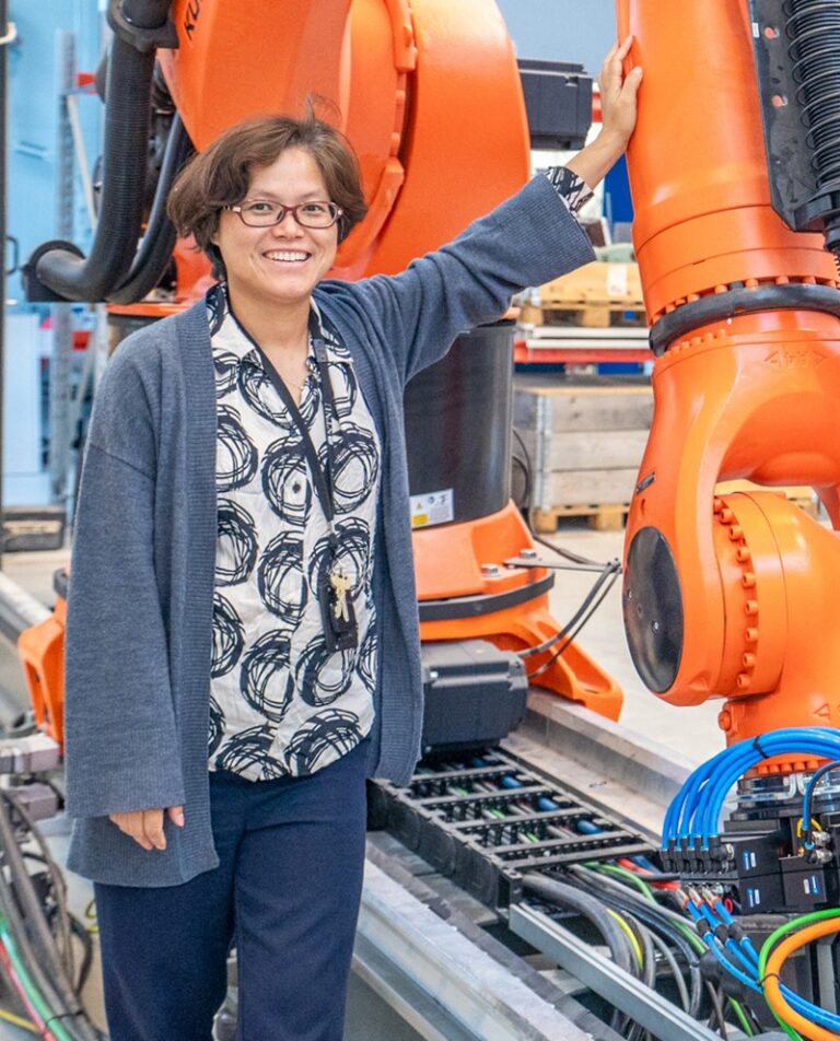
Professor Lizhen Huang. Photo: Mads Wang-Svendsen, NTNU
In other words, little research is available on the connection between what type of drone you fly, the way you fly, how animals respond at the individual level and what ecological consequences drone traffic may have in the long term.
And that becomes problematic when your goal is to simulate the potential environmental impacts of drone flying digitally, says Lizhen Huang.
Lizhen is a professor at NTNU’s Department of Manufacturing and Civil Engineering and supervises Hellerud’s doctoral research, which will eventually result in a simulation tool for drone pilots.
“In order to simulate something, you first need to know what to simulate. The framework we’ve developed allows us to synthesize existing knowledge and in many ways answers that question,” says Huang.
In short, the framework, which is described in detail in this article, makes it possible to translate ecological knowledge into concrete technical data. The data can in turn be used directly by engineers when developing algorithms and simulation technology for drone flying.
- You might also like: This drone reveals what lies beneath snow and soil
A drone is not just a drone
A possible application for simulation tools like this is to integrate them into an interactive map that makes it easier for drone pilots to become thoroughly familiar with the area they will work in.
“We imagine a dynamic map that is continuously updated according to the likelihood of finding different species in a given area at different times of the year. The map will also be able to tell you about the way you should fly, whether it is nesting time, or other conditions that mean you should exercise special care,” says Hellerud.
With this service, you will also be able to specify which drone you are using, so that the guidelines can be adapted to your specific model. Because a drone is not just a drone.
“In agriculture, we now have drones with a load capacity of up to 100 kilograms. It goes without saying that such a machine will affect the surroundings completely differently than the small drones that you often see private individuals flying around. We’re talking about a soundscape that is more similar to that of a helicopter,” says the researcher.
Initially, the tool is intended for the forestry and agricultural industry. However, the researchers see nothing to prevent it also eventually becoming available to private individuals.
In this way, drone tourists in Lofoten may finally be able to navigate nature in a way that does not challenge either the bird life or local patience.
Reference:
Hellerud, K.; Huang, L. A Factors–Responses–Consequences Framework for Assessing Wildlife Impacts of Uncrewed Aerial Systems: A Systematic Review. Drones 2026, 10, 298. https://doi.org/10.3390/drones10040298