The Nansen Legacy: Uncovering the secrets of the Barents Sea
Fridtjof Nansen travelled the polar regions as both an explorer and a scientist. Ten research institutions followed in Nansen’s footsteps in a collaborative investigation of the Barents Sea. Their 6-year effort has now been documented in a new book.
Roughly 300 scientists, students and technicians from ten research institutions worked together in a six-year national effort to investigate the Barents Sea. The Nansen Legacy Project, which ran from 2018-2024, involved biologists, chemists, technologists, physicists, historians and cyberneticists working side by side.
Their interdisciplinary collaboration relied on completely new methods to carry out a thorough survey of the environment in the Barents Sea management plan area.
“The most important thing in this major research project is interdisciplinarity. We work closely together across disciplines, and we work well with each other,” said Geir Johnsen, an NTNU professor of biology.
The research results from this huge national effort are collected in the new book The Barents Sea system – gateway to the changing Arctic. Johnsen is one of the book’s three editors.
The researchers hope the book will be an important contribution to knowledge-based management of this important international resource.
The Nansen Legacy
The Nansen Legacy project ran from 2018-2024. Many scientific articles have been published from the research cruises. The target groups for the book that is now being launched are students, researchers, decision-makers and people who work with the management of the Barents Sea. The project also created brief fact sheets and graphic presentations on key topics.
The participating institutions were: UiT The Arctic University of Norway, University of Bergen, University of Oslo, NTNU, UNIS – University Centre in Svalbard, the Norwegian Polar Institute, the Norwegian Institute of Marine Research, Institute of Metrology, Akvaplan-Niva and NERSC – Nansen Centre.
The institutions themselves funded 50 per cent of the costs of the research project, while the Research Council of Norway and the Ministry of Education and Research funded the remaining 50 per cent..
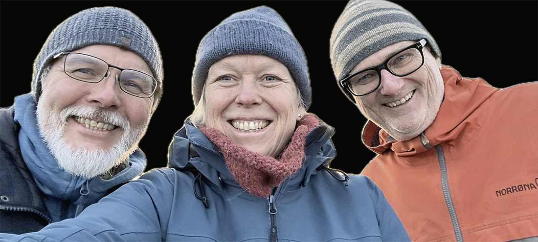
The new book’s three editors: Arild Sundfjord (researcher at the Norwegian Polar Institute), Marit Reigstad (professor at UiT) and Geir Johnsen (professor at NTNU). Photo: Marit Reigstad.
Technology and science
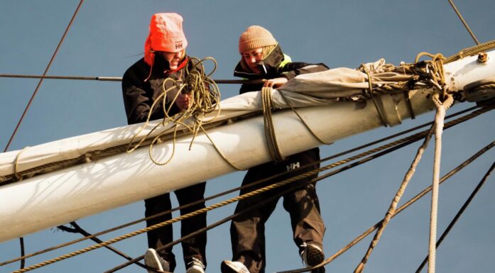
NTNU’s researchers came from three different faculties. One of the biggest contributions they made was in robotics. The technologies they used were deployed in the air, on the sea surface, under sea ice, in the water column and on the seabed. These different platforms could collect data simultaneously, providing a nearly real-time understanding of what was happening in a specific place.
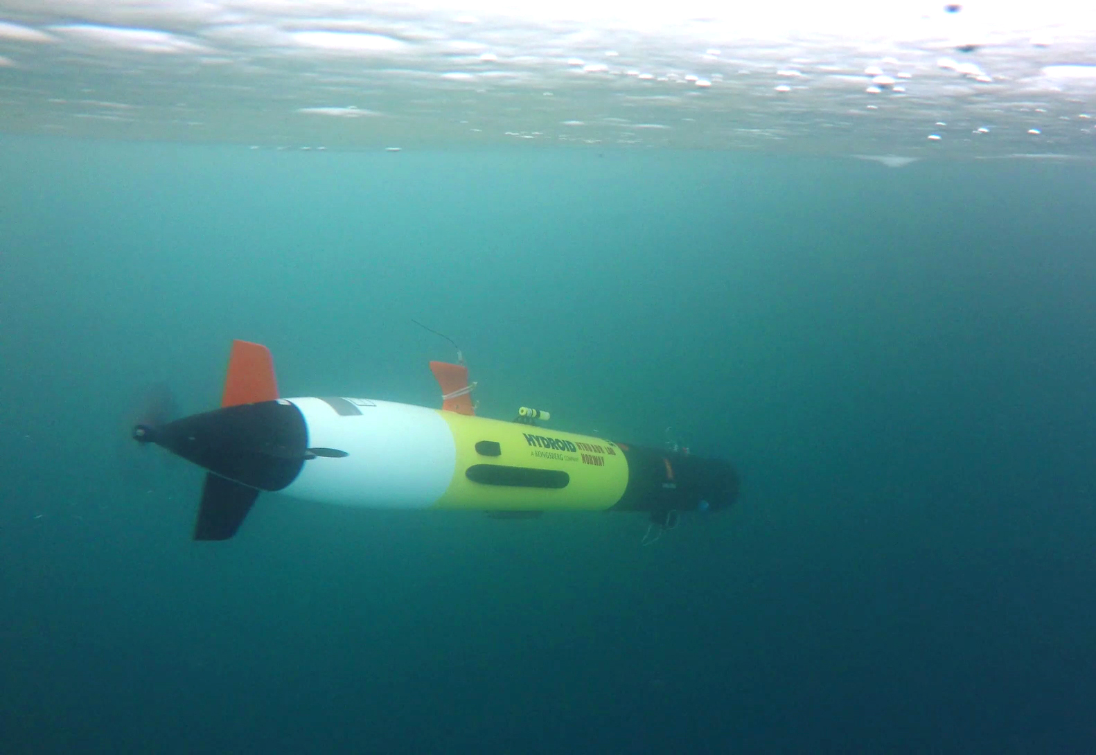
This is an underwater robot called the REMUS, shown here operating under the ice in Svalbard. Photo: Martin Ludvigsen, NTNU
“Instrument-carrying robot platforms have made it possible to carry out scientific investigations in a very efficient way,” says Johnsen.
The researchers used flying drones, small satellites, autonomous boats and underwater robots that could be fitted with hyperspectral cameras.
This type of camera can capture very precise images of large areas, making it possible to see nuances in the colour of the sea surface that can help researchers assess algae blooms, as one example.
The robots are also equipped with sensors that measure temperature and light, as well as acoustic meters and water samplers.
- You might also like: Shedding light – on the polar night
The Observational Pyramid
Researchers called this combination of observational tools, from seabed to space, the Observational Pyramid. It allows researchers to scan the ocean from sky to seabed, collect water samples and perform various tests in the same area at the same time.
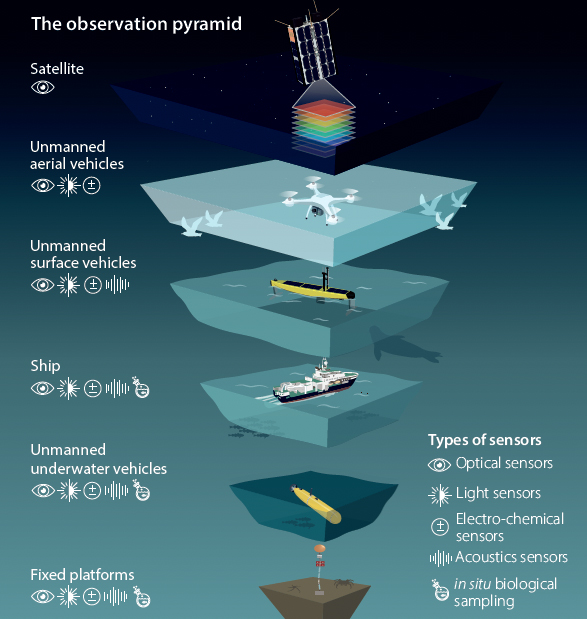
The Observational Pyramid. Illustration: Frida Gnossen
“The observation pyramid looks at phenomena in time and space and collects data at many different levels. We get 100 times more information compared to only information from research vessels,” Johnsen said.
“The method can be scaled up and down: With the help of satellites, we can map areas of several hundred thousand square kilometers. And we can also zoom in on details and examine a drop of water or a cell,” he said.
Professor Martin Ludvigsen, head of the Applied Underwater Robotics Laboratory (AUR-Lab) at NTNU’s Department of Marine Technology, was responsible for the technology related to this approach.
- You might also like: Listening to leviathans
Why the Barents Sea?
The Barents Sea contains many mysteries and unanswered questions, yet it is a critical area for marine resources, geopolitics and shipping.
The Arctic is becoming increasingly ice-free, and it is precisely in the Barents Sea that the melting of sea ice is most noticeable, including with the greatest temperature increases. That makes the Barents Sea an important place for tracking environmental trends and climate change.
The researchers have studied the past and present climate and ecosystem in the Barents Sea. These data enable researchers to make better predictions about future changes and offer important information for being able to manage resources in the best possible way.
“Other sea areas in the Arctic are likely to experience similar changes as we are seeing in the Barents Sea now. This knowledge base and the book will be an important resource for understanding changes that are taking place in the ocean,” Johnsen said.
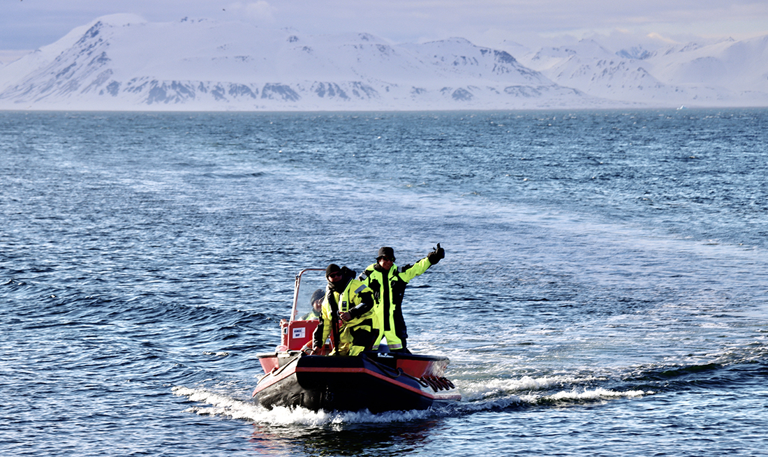
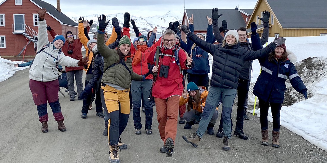
Much of the research for the Nansen Legacy Project took place in the seas around Svalbard. Photo: Live Oftedahl, NTNU
Rich in life
The Arctic Ocean, of which the Barents Sea is a part, is the smallest, shallowest and northernmost of the five oceans. Even though the water is quite cold, it is rich in life. Many microorganisms live that here are important food for the rich fish stocks that swim these waters.
The new book provides an overview of the interconnected elements in the Barents Sea, from microbes living in the sediments to seabirds on the surface, from the cycle of tiny particles of trace minerals in the water to large-scale atmospheric and ocean currents.
Fridtjof Nansen
Both as a polar explorer and as a scientist, Fridtjof Nansen was interested in marine life and conditions in the polar regions.
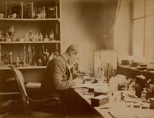
Fridtjof Nansen at work classifying plants and animals from the Arctic Ocean. Photo: Public domain
He studied zoology and wrote a doctorate on the nervous system of the. His dissertation was an important contribution to the nascent neuroscience.
When Nansen received his doctorate, he was employed as a conservator at Bergen Museum, where he classified marine samples of plants and animals from the Norwegian North Sea Expedition 1876–78.
Here he also had the opportunity to join the seal hunting ship DS “Viking” to the Arctic Ocean and Greenland, where he had his first Arctic experience.
In 1893, Fridtjof Nansen embarked on the great polar voyage with the ship “Fram”. The goal was to find the Northeast Passage. The three-year expedition made many scientific observations and measurements in meteorology, magnetism, oceanography and astronomy. You can read more about Nansen and his influence on polar research in this article from ScienceNorway.
You can read more about some of the research results from The Nansen Legacy here: